
Regional Modeling Program
ACOG manages the regional modeling program in partnership with the South Carolina Department of Transportation (SCDOT) Office of Statewide Planning and the Anderson, Greenville-Pickens, and Spartanburg Metropolitan Planning Organizations (MPOs). The program is jointly funded by each agency listed above and saves each MPO approximately $100,000 a year through ACOG's coordination of the program.
The Appalachian Regional Travel Demand Model (ARM)
The ARM was developed cooperatively by United States Department of Transportation (USDOT), South Carolina Department of Transportation (SCDOT), Appalachian Council of Governments (ACOG) and the three regional MPOs. The ARM is a multi-modal four-step regional travel demand model, designed to support long range transportation planning and programming decisions in the rural portion of the Upstate region and in the Anderson, Greenville-Pickens, and Spartanburg MPOs. More detailed analyses include travel forecasts, Long Range Transportation Plan development, intersection-level turning movement analysis, and sub-area analysis.
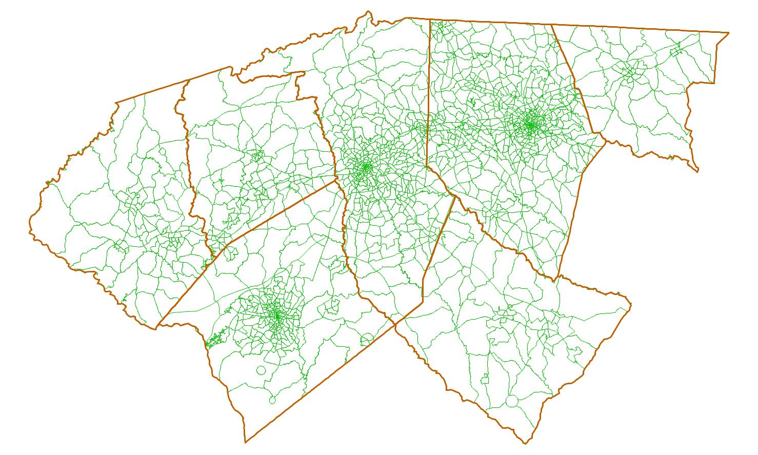
The ARM area is made up of the seven full counties of Anderson, Cherokee, Greenville, Laurens, Oconee, Pickens and Spartanburg. The planning area consists of 1,768 transportation analysis zones (TAZs) and three MPO's. ACOG serves as the model custodian and is responsible for developing, maintaining and updating the model with the state of the practice to meet various needs from federal, state, MPO and private sector users.
How the ARM Works
The ARM utilizes a traditional four-step trip-based model process consisting of four basic steps below. Each step utilizes state-of-the-practice and accepted mathematical models to objectively analyze why, where, and how people travel. Steps:
- Trip Generation: to predict the number of trips to be made
- Trip Distribution: to predict where those trips go
- Mode Choice (Modal Split): to predict whether people take transit, their own car, or a carpool to and from work or another destination
- Traffic Assignment: to predict the route people will take
The ARM is developed on TransCAD version 6.0, a transportation planning software platform developed by Caliper Corporation, which is a Geographic Information System (GIS) designed specifically for use by transportation professionals to store, display, manage, and analyze transportation data.
What the ARM Does
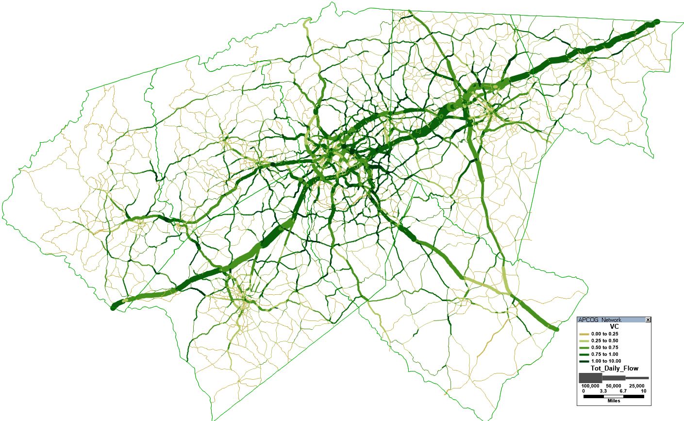
The ARM analyzes socio-economic and travel characteristics data with the highway and transit network in the model area. Through the first two steps of the modeling process, the ARM predicts the number of people traveling to and from various places on a daily basis. These predictions take into account the purposes of travel and travel both within and beyond the Upstate of South Carolina.
During the last two steps the model process, predictions are made related to auto, transit, and non-motorized travel demand (daily traffic volume, traffic volume by period) based on socio-economic data forecasts and the level of service of the region's road network and transit systems. These predication are for the current "base" year and for 10-year increments or horizon years. When the entire process is completed, the ARM generates a report consisting of summarized performance measures such as speed, VMT by county and functional class of roadways. This report is utilized as main input data in the various transportation analyses for federal agencies, state agencies and MPOs.
© 2026 SCACOG. All Rights Reserved|
Privacy & Legal | Site by ALINE, A Marketing Company
© 2026 SCACOG. All Rights Reserved | 864.242.9733 | info@scacog.org